Overview of the Updates
Google is enhancing its mapping platforms, including Google Maps, Google Earth, and Waze, by integrating new generative AI features based on the Gemini AI model. These updates aim to improve user interaction with geospatial data and streamline complex tasks for developers and urban planners. As these features roll out, they are expected to significantly change how users experience their surroundings.
Key Features Introduced
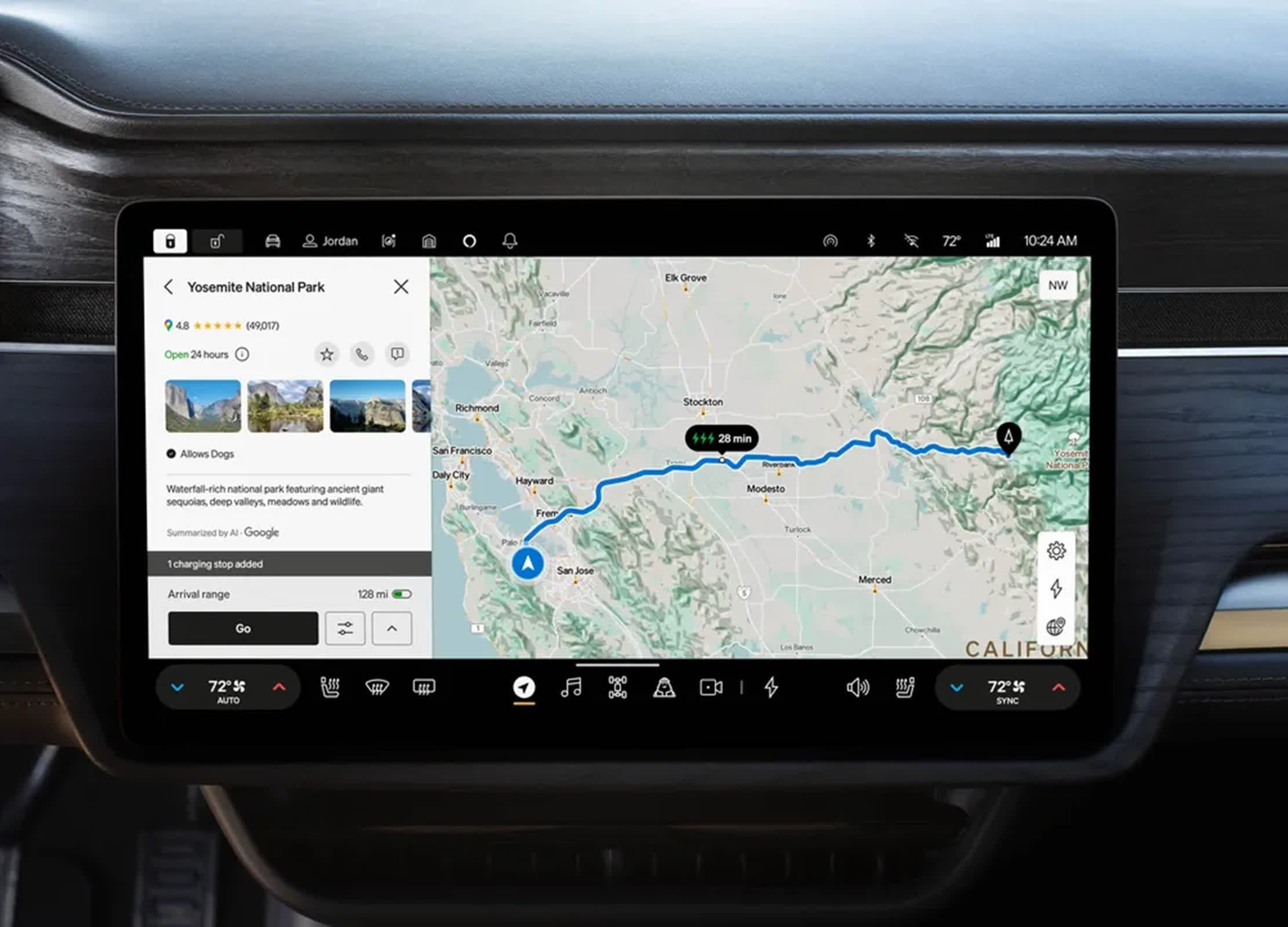
- Google Maps now offers detailed, contextual search results using Gemini AI, allowing conversational queries for personalized suggestions.
- Enhanced route exploration provides landmark recommendations and end-of-route information such as parking and pedestrian directions.
- Google Earth will assist urban planners by generating city-level insights quickly, transforming data analysis from days to minutes.
- Waze introduces conversational reporting for road conditions, enabling users to describe incidents verbally instead of selecting icons.
Significance of the Changes
These advancements mark a pivotal moment in the integration of AI with geospatial technologies. By enhancing user experience and providing deeper insights for urban planning, Google is setting a new standard for how mapping services operate. The collaboration with developers will also enable more accurate and real-time information sharing across various applications, benefiting millions who rely on Google Maps for navigation and planning. This shift could redefine urban mobility and planning, making cities smarter and more responsive to user needs.