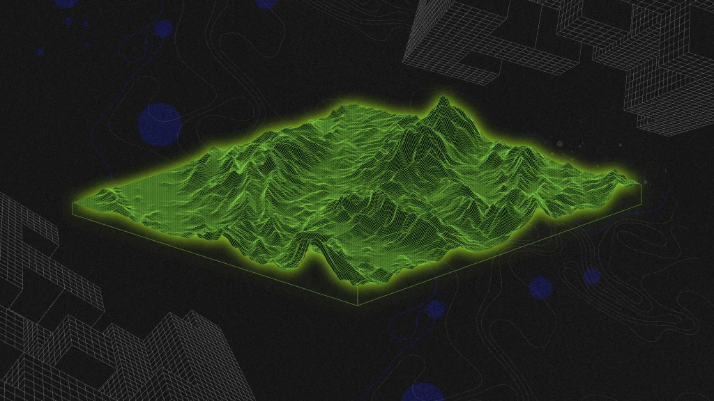
Understanding Spatial Intelligence
Spatial intelligence represents a new frontier in artificial intelligence, merging mapping data with AI to create “smart data” linked to specific locations. This technology enhances maps, transforming them into 3D models that provide contextual insights about places and the activities occurring within them. While traditional mapping services like Google Maps focus on streets, they often overlook the vertical dimension, which spatial intelligence aims to address.
Key Features of Spatial Intelligence
- Companies like Descartes Labs and Blacksky are leading the charge, offering solutions that analyze satellite data and track geographical changes.
- Mapbox enriches route planning with added layers of intelligence, while Carto helps businesses leverage spatial data for strategic insights.
- The current landscape of spatial analysis is still limited to 2D maps, indicating a need for more immersive experiences that consider 3D spaces and localized environments.
- The integration of AI into physical spaces opens new avenues for data collection regarding human behaviors and interactions.
Broader Implications
The allure of spatial intelligence lies in its potential for real-time information access, but it raises significant concerns about privacy and surveillance. As AI technology expands, the revival of nuclear power to meet energy demands poses additional risks. The combination of spatial intelligence and nuclear energy could lead to a future where every space is monitored and monetized, potentially reshaping urban environments into smart cities with fewer regulations. The consequences of these developments may profoundly affect society, necessitating careful consideration of their implications.