Exploring New Dimensions of Google Earth
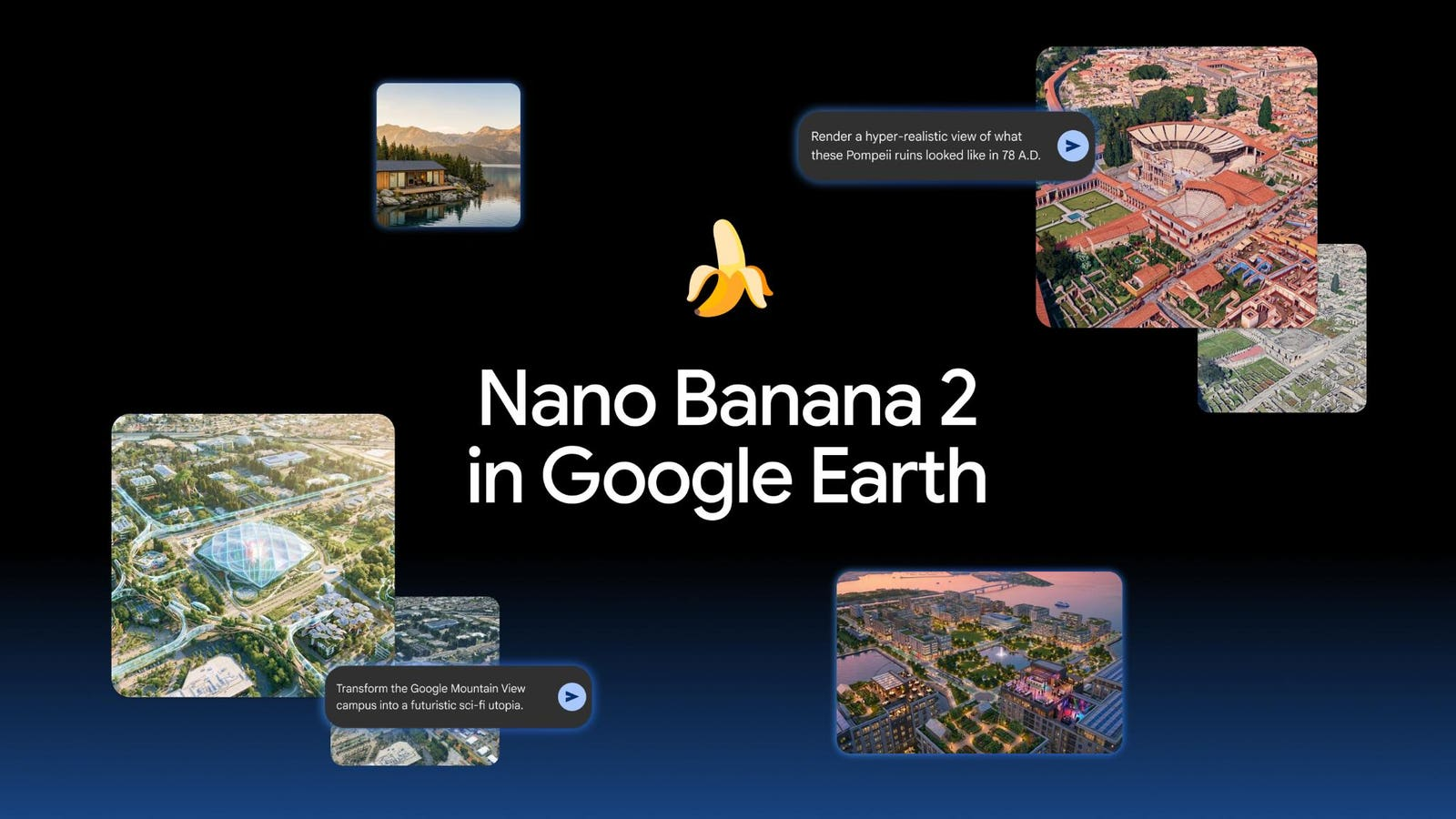
Google Earth has introduced an exciting feature called Nano Banana 2, allowing users to create unique images based on real-world locations. This tool enables a fresh perspective on both historical and contemporary sites. Users can generate visuals that range from infographics to imaginative recreations, all while exploring the globe. With just a click, anyone can turn their views into creative interpretations, transforming how we engage with geographical data.
Key Features of Nano Banana 2
- Users can zoom in on any location and generate images tailored to that area.
- The tool can create historical visuals, such as bustling scenes of Pompeii before its destruction.
- It offers options to refine images for better accuracy and aesthetics.
- Users can visualize real estate projects or playful reimaginings, like predicting Venice’s future water levels.
Significance of the Upgrade
This feature enhances the way we interact with geographical data, making it more accessible and engaging. By combining AI with Google Earth, users can explore their creativity while gaining insights into historical contexts and future possibilities. The Nano Banana 2 tool opens up new avenues for education, planning, and entertainment, allowing individuals to visualize scenarios that were previously only possible in imagination. This innovation represents a significant step in merging technology with geography, enriching our understanding of the world.