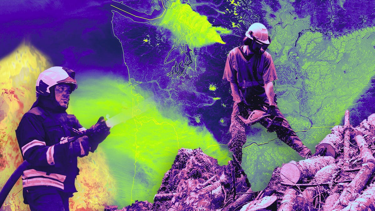
Wildfires are becoming a year-round threat in the United States, and NASA is using its wealth of data and emerging technologies such as artificial intelligence and drones to help predict and combat these devastating blazes. With climate change shifting the traditional four-month fire season to six to eight months, NASA’s Landsat satellites are capturing images of the Earth’s terrain, gauging surface temperature, and measuring natural materials that serve as wildfire fuels. The agency is building predictive models using machine learning and data from agencies like the California Department of Forestry and Fire Protection to estimate the severity of fires, including casualties and property destruction. NASA’s mobile air traffic management kits are also helping first responders visualize traffic, ensuring safer deployment of drones and crewed aircraft during firefighting operations. With wildfires becoming more frequent and severe, NASA’s innovative technologies are crucial in providing firefighters with the tools they need to respond effectively and save lives.
NASA Battles Wildfires with AI and Satellites
NASA is using its troves of data to build predictive models, as well as airspace management tools to help drone pilots and agencies respond more effectively to disasters.
1–2 minutes
TOP STORIES

Unauthorized users have gained access to Anthropic’s Mythos, raising security concerns …

Clarifai has deleted millions of photos from OkCupid amid an FTC investigation into data misuse …

Nvidia’s Vera Rubin platform is set to revolutionize AI inference with unmatched performance …

Apple’s leadership transition highlights a strategic focus on silicon for AI innovation …

Apple’s leadership changes signal a strategic shift towards AI and silicon innovation …

Tennessee’s new law restricts AI claims in mental health but may create loopholes …