Revolutionizing Cartography with AI
Researchers at Washington University in St. Louis are developing innovative AI models that transform the way we create and interact with maps. These cutting-edge tools, Sat2Cap and GeoSynth, harness the power of satellite imagery and natural language processing to generate maps and synthetic satellite images from textual descriptions.
Key Advancements:
- Zero-Shot Mapping: Sat2Cap enables the creation of maps for concepts not previously seen in training data, using only text prompts.
- Large-Scale Data Processing: The model was trained on 6 million satellite images, allowing it to understand complex geographical patterns.
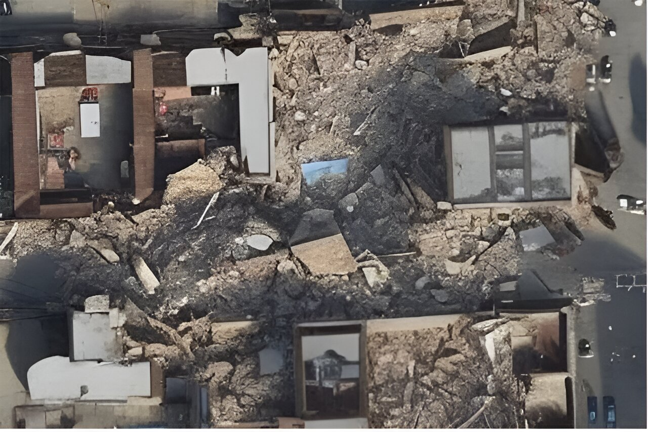
- Synthetic Satellite Imagery: GeoSynth can generate realistic satellite images based on text descriptions or geographic locations.
- Contextual Understanding: The model learns to associate specific geographical features with different regions, producing appropriate imagery.
Implications for Geospatial Technology
These AI-powered tools have far-reaching applications in urban planning, disaster response, climate change monitoring, and virtual environment creation. By making map creation more accessible and efficient, they open up new possibilities for geospatial analysis and visualization. As AI continues to advance in this field, we can expect even more sophisticated tools that bridge the gap between human language and complex geographical data.